|
Tahoe Nugget #31:
Big Storm Opens Sierra Resorts
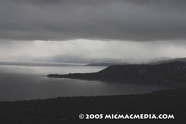
The big weekend storm dumped up to 42 inches of fresh snow in the upper elevations. Although the warm nature of the system generated relatively high snow levels (mostly rain at lake level), the ski resorts will
get a lot of mileage promoting the "fresh powder" to holiday skiers and boarders. This storm followed the same pattern as earlier systems this season, bringing abundant moisture but high snow
levels. In fact, if this trend continues throughout this winter as it has started (it is expected to remain warm and wet, at least through the Christmas weekend), it will follow a potentially dangerous pattern that
the NWS has warned us about.
During ENSO-neutral winters, when sea surface temperatures in the equatorial Pacific Ocean are neither warmer or cooler than average, the risk of the so-called "Pineapple
Express" weather pattern is twice as likely as normal. The sub-tropical origin of the storms associated with this scenario can bring torrential rain and high snow levels. When the warm rain melts the snowpack
(a "wet mantle event"), devastating floods can wreak havoc on homes and businesses located in river floodplains. Nine out of ten floods in the Sierra Nevada are wet mantle events.
For this
week's Weather Window column, published bi-weekly in Truckee's Sierra Sun newspaper, I chronicled the epic flood of 1955, which was also a wet mantle flood. Fifty years ago this week, Hawaiian-bred storms
drenched Blue Canyon on the Sierran west slope with 45 inches of rain in 10 days and floodwater from the Truckee River inundated Reno. It was called "The Storm of the Century." Hopefully, we won't have
a repeat performance.

|


