|
Tahoe Nugget #40:
In the West: You Pick Your Own Poison
You think Vegas plays the odds? Be it flood, earthquake, or avalanche, the West has something to offer you. Pick your geographic location, and you choose your liability. A big shake thrice a century? That rogue
wave? The blizzard that shuts down all roads and power, or quiet panic crouched on a roof top during catastrophic flood. We all have issues. Here in the Sierra, damage occurs when a deep snowpack is rapidly melted
by heavy rain. Of course, the seemingly benign, long-term drought is usually the most relentless, costly and large-scale impacter of all.
Climatologists rank storm intensity by a cycle of return. The
likelihood of any storm's precipitation intensity and time profile is quantified into a rating system. Unusual storm events are compared to each other according to what weather scientists expect in any given
area over time. Pacific storms have pummeled California and the Sierra for so many years that we shouldn't be surprised. It's a behavior we should expect.
The Sierra snowpack provides millions of
people in California and Nevada high quality drinking water. To predict runoff and mitigate downstream flooding, virtually every watershed snowpack is measured for its water content. The snow survey is conducted
once a month (January to May) by teams of men and women who use skis, snow mobiles, snowshoes, and helicopters to measure the Sierra snowpack. A snow core is weighed to determine its water content.
Passive
sensing devices are also deployed in remote but important watershed locations in the Sierra Nevada. All these data inform reservoir/dam operators how much water they should store to not waste water and to avoid
flood conditions.
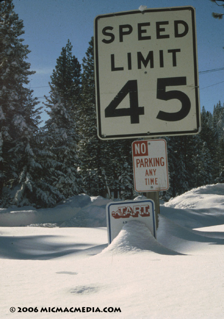
Photo #1: Carnelian Bay: Quick-falling 6-foot snowfall (Dec. 20-21, 1996), which melted and contributed to the 1997 New Years flood
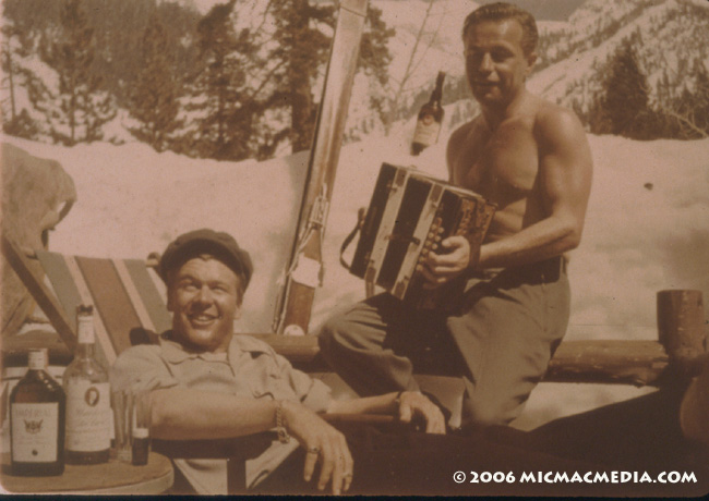
Photo #2: Snow surveyors, like these two guys in 1959,
knew how to enjoy the backcountry.


|


