|
Tahoe Nugget #26:
First Storm 2005-06
Consider this Nugget a Hat Trick with three images to celebrate the first big storm of water year 2005-2006. (In the Sierra, precipitation
is measured from October 1 to Sept. 30.) This powerful Pacific storm arrived on Dec. 1 and along with heavy rain generated a peak gust of 82 MPH at Angel Island in the Bay Area with winds exceeding 100 MPH over the
Sierra ridges. It also hammered the west slope of the Sierra with nearly 6 inches of rain, but high snow levels during much of the storm event kept snowfall accumulation to less than a foot below 8,000 feet.
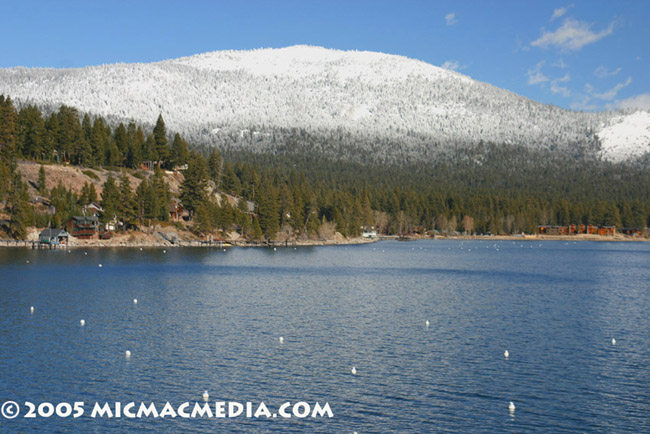
Despite the lack of heavy snow in the lower elevations (note that there is virtually no snow at lake level in photo #1), fresh snow at the ski resorts encouraged thousands of impatient skiers and boarders to
hit the slopes this weekend. Runs are still limited and we need significantly more snowfall to really open up the vast, lift-served terrain.
Although I am currently swamped with work, I stole away
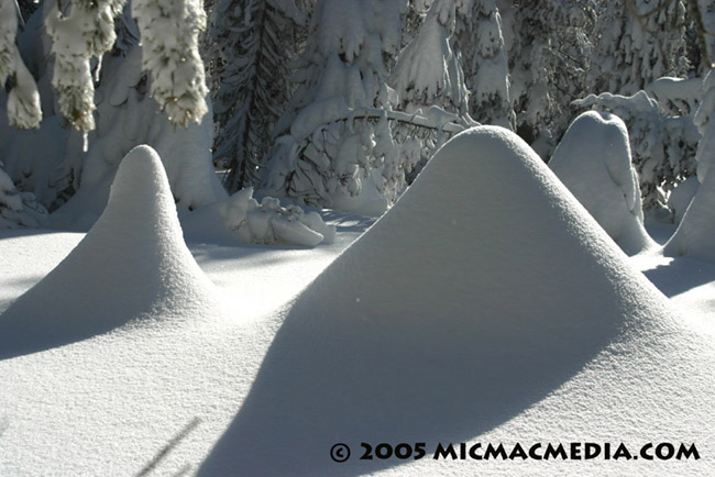
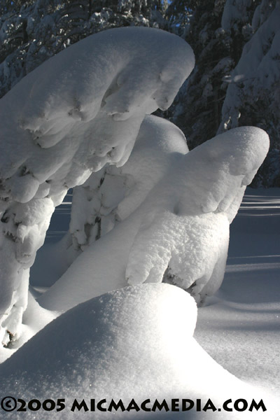
yesterday and went cross-country skiing at the Mt. Rose Meadows, elevation 8,900 feet. As you can see in photos B and C, the powder was abundant there; in the protected trees I measured it at 36 inches deep with my
ski pole. The buried trees are bowing their heads in respect to the Sierra Storm King who has finally made his first appearance in this new ski season. How sweet it is!

 |

|


