 |
|
|
Follow Mark on Facebook for more stories |
||
 |
|||||
|
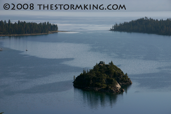
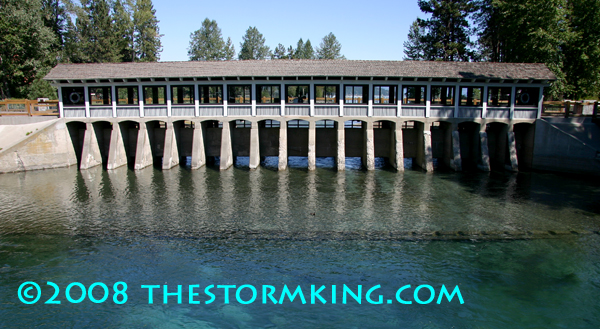
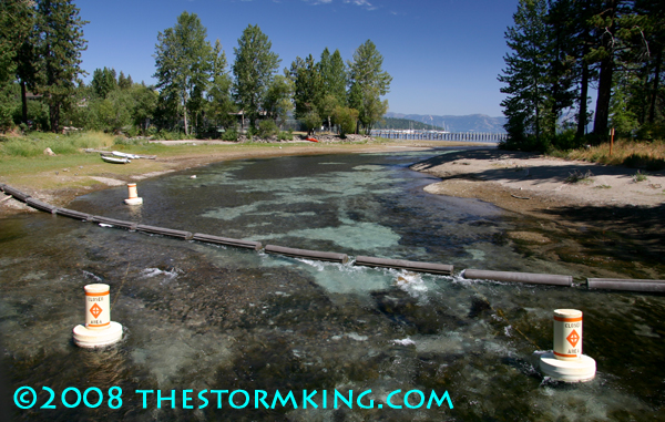
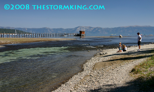
Tahoe Nugget #153: 2008 Weather Wrap-up September 30 marked the official end of the 2008 water year, and unfortunately, it was another disappointing winter as far as precipitation and water runoff are concerned. At the Central Sierra Snow Laboratory at Soda Springs (near Donner Pass), lead hydrologist Randall Osterhuber measured 346 inches of snow and about 45 inches of precipitation for 2008. Average snowfall at the lab is 409 inches annually with nearly 54 inches of precipitation. (Precipitation is rain and snowmelt combined.) After 138 years of record, last winter was the 84th driest. In the Sierra the water year runs from October 1 to Sept. 30 because the beginning of October represents the historic low point for water flow and reservoir storage in the mountains. From early October on, the chances for measurable precipitation increases daily, with the likelihood of rain and snow at its peak from late December through February. Many of us remember the barrage of snow that hammered the Truckee-Tahoe region for five weeks beginning in early January 2008. The National Weather Service in Reno called it the "Storm of the Century," and although that may have been a bit of a stretch, heavy snow along with low temperatures generated some of the best powder skiing and snowboarding in years. For a period of time last winter, hydrologists were exuberant about water runoff forecasts that were significantly above average. Unfortunately, the storm track shifted after the first week of February and the intense, snow producing weather pattern was gone for good. Tahoe ski resorts enjoyed one more significant storm, a healthy 5-foot dump of snow during the third week of February 2008, but for the rest of the ski season Squaw Valley received only a meager 35 inches of additional snow on its upper mountain at 8,200 feet in elevation. A bone-dry March was followed by a parched April and May, which led to the driest spring season on record for the Northern Sierra. This past spring, for the first time, hydrologists reported that Lake Tahoe's water level was actually falling during the spring snowmelt due to a lack of runoff, desiccated soils and evaporation. Currently, Lake Tahoe's water level is less than six inches above its natural rim and dropping fast. When the level falls to the rim at 6,223 feet above sea level, no water will flow into the Truckee River from Lake Tahoe. The low water has made boat ramps tricky and soon the large paddlewheel tourist boats won't be able to enter the mouth of Emerald Bay. Despite the negative impacts to Tahoe recreation, all 17 gates of the Tahoe Dam remain wide open to fulfill water rights for downstream users in Nevada. (Over the course of a year, more water will evaporate from the surface of Lake Tahoe than will be released through the dam.) With low water levels in Tahoe and other regional reservoirs, the upcoming 2008-2009 winter will be crucial to replenishing our watersheds,lakes and rivers. The past few years have been characterized by ENSO events (El Nino Southern Oscillations) where sea surface water temperatures in the equatorial Pacific have been warmer (El Nino) and cooler (La Nina) than normal, both of which historically tend to affect weather patterns and jet stream activity across North America. The National Weather Service prediction for this winter is for ENSO neutral conditions, which means that neither El Nino nor La Nina conditions are expected. The lack of a significant ENSO event has led forecasters to predict that this winter has equal chances of being normal in both temperature and precipitation on the Pacific Coast. We'll just have to wait and see how this winter pans out, but since the High Sierra receives close to 35 feet of snow in a "normal winter," an average season will be just fine. Photo #1: Lake Tahoe boat ramp warning signs in 2005.
|
|||||
|


