 |
|
|
Follow Mark on Facebook for more stories |
||
 |
|||||
|
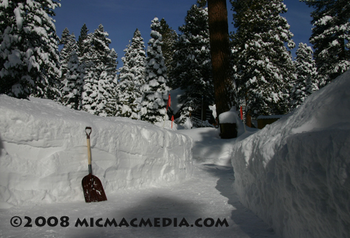
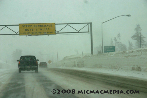
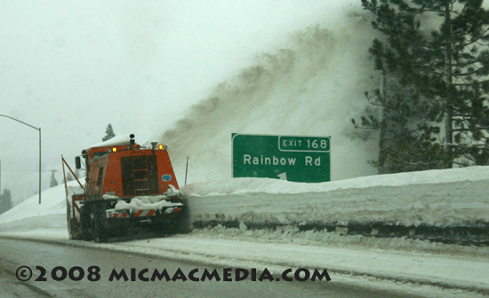
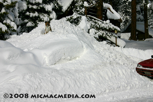
Tahoe Nugget #132 Tahoe Winter Update Winter got off to a late start here in the Sierra this season, but the Storm King has more than made up for it since the New Year. During the month of January a long parade of powerful, cold storms has pummeled the Tahoe Basin with deep, fluffy powder. In my 30 years here, I can't remember such an active pattern with so many storms barreling down out of the Gulf of Alaska. But alas, this exhilarating weather can't last forever and it looks like the run is over for now. It is still snowing on and off today, but high pressure with mainly dry conditions is forecast to keep winter storms at bay through much of this week. Most residents here would say that we need a breather and I guess I have to reluctantly agree. We have endured 14 consecutive days of snowfall, some of it very heavy. High winds have made traveling treacherous at times and shut down Interstate 80. The storms were consistently cold with very low snow levels (down to 1,000 feet in the west slope foothills), which caused the snow to drift and generate blinding whiteout conditions at times. Wind gusts in excess of 125 mph have closed ski resorts and shut down the chairlifts to the tops of the mountains. Today, at least one major ski area is closed to give them time to dig out and get the avalanche danger under control. A large avalanche earlier today blocked the road with a slide 20 feet deep and 300 yards across. Tomorrow, powder hounds will be in heaven. Reminiscent of January 1952, when a luxury passenger train with 226 people on-board became snowbound for three days west of Donner Pass, this week about 400 people were temporarily stranded in the mountains after a railroad snowplow fell partially through the tracks. The mishap blocked the route of two Amtrak trains. The westbound train was pulled back to Reno and its 165 passengers put up in a hotel. The other train, which was headed east to Chicago, remained stuck in the mountains for a day or so. About 60 of the passengers decided to take a bus back to the San Francisco Bay area, but 155 people chose to "tough it out" by remaining with the train. The train had heating and lights and the passengers were given food, which made it a much different scenario than the one in 1952. See Tahoe Nugget #106 for the chilling details Over the past two weeks, Squaw Valley USA has added another 12 feet of snow to the upper mountain and is now boasting a snowpack from 11 to 14 feet deep. The current snow depths are an impressive improvement since the beginning of January when we were desperate for snow. Precipitation was spread throughout California during January 2008 with the northern regions getting about 150% of normal and Los Angeles pulling in a whopping 249% of average. Skiers and boarders can brag that the Sierra snowpack is deeper than average for this time of year, but more importantly, hydrologists will say that the water content of the Sierra snowpack is now above average too.
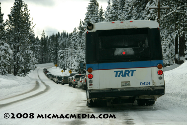
Photo #1: Traffic being held on January 30 on Highway 28 while an accident is being cleared. Cold weather kept the roads slick with snow for days. TART bus is Tahoe Area Rapid Transit.
|
|||||
|

