 |
|
|
Follow Mark on Facebook for more stories |
||
 |
|||||
|
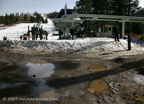
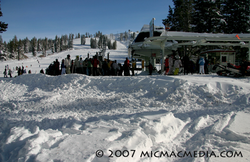
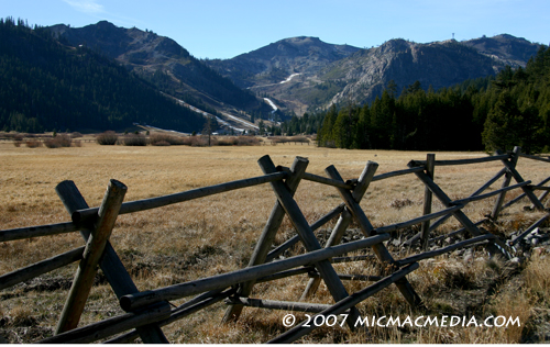
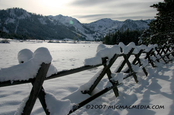
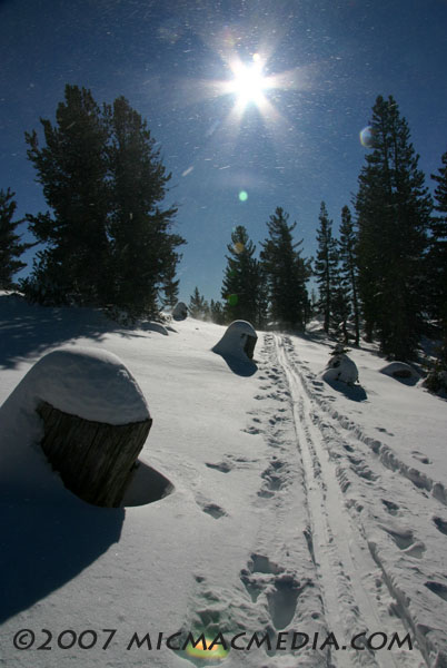
Tahoe Nugget #126 First Winter Storm: A Post Mortem A few days ago (Dec. 6 & 7), the Tahoe-Truckee region got belted by the first significant storm of the 2007-08 winter season. The Alaska-bred system delivered about 8 inches of powdery snow around the lake to 2 feet plus in the higher elevations at the ski resorts. Snowfall totals were nothing to brag about when compared to a real juicy Sierra storm, but the new snow injected some much-needed adrenalin into our local, ski-based winter economy. Most of the local resorts are now boasting a snowpack ranging from 15 to 30 inches deep (which includes man-made snow), but that's not enough to open the upper bowls or facilitate safe tree skiing. The storm was great, but we still have a ways to go to kick it up a notch at the ski hills. You can get away with a dry November, but as we move into mid-December, the stakes start to go up. Statistically, November provides only about 12 percent of our annual precipitation, but combine it with December and the two months together contribute about 28 percent of a year's worth of water. It's roughly the same ratio when it comes to snowfall, so the early winter months are important for more than holiday tourism. Photo #1: Boreal ski resort on Dec. 5, 2007, the day before the firstwinter storm of the 2008 winter season. Photo #2: Boreal two days after the storm. More snow, more boarders, moremoney!. Photo #3: Squaw Valley on Dec. 5, the day before the storm. Notesnowmaking on Mountain Run. Photo#4: Squaw Valley in its mantle of winter white. Photo #5: Dec. 10. My first day cross-country skiing in the backcountrynear Mt. Rose, at about 9,000 feet. Beautiful conditions!
|
|||||
|

