|
Tahoe Nugget #105:
Drought Buster!
February 26, 2007
The snow drought of 2006-07 is history. We're in the midst of a major winter storm, by far the best this season. A Winter Storm Warning (which is this neighborhood usually means a foot of snow at least) went
up Saturday at 4 P.M. It's been snowing nonstop ever since. We've picked up about 30 to 35 inches of snow at lake level so far, with the ski areas probably closer to 4 feet or more by now. Usually, the ski
areas get a lot more snow than the lake, but in conditions like this, with high temperatures in the 20s, the powder snow accumulations are generally more equitable between 6,000 and 8,000 feet in elevation.
At this time, the WSW is scheduled to expire tomorrow morning (Tuesday), with another 18 to 30 inches by then. In fact, the operational meteorologists are duty today noted that their computer models are
suggesting another decent slug of moisture may hit the mountains from Tuesday afternoon into Wednesday morning. If that verifies, this series of storms will have generated between 6 to 10 FEET of high quality fluff.
Avalanche control will be key to making the slopes safe at the resorts — backcountry skiers are on their own. Plenty of explosions could be heard going off at Squaw Valley and Alpine Meadows this morning as
ski patrols triggered snowslides on the slopes.
There is a lot of cold air associated with this Pacific moisture. Snow levels are approaching 1000 feet in California, so many foothill communities below the
traditional snowline on the lower Sierra west slope are being impacted by this snow event. Reno is also under a WSW with 4 to 7 inches in the forecast. There will also be snow in the San Francisco Bay Area on the
higher peaks.
Peak wind gusts over the Sierra crest have been in the 100 mph to 115 mph range. Blowing and drifting snow on the passes has made driving hazardous at times. I cancelled two scheduled
presentations tonight because of the road conditions. First time I've ever cancelled a gig due to weather.
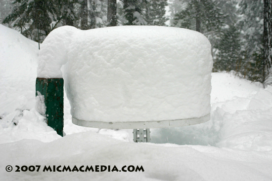
Photo #1: 36-hour snowfall accumulation sits on patio table. Lots more to come!
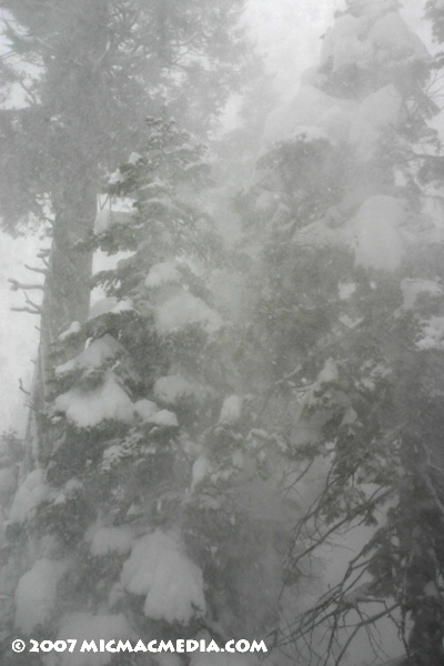
Photo #2:
Winds gust hammer towering pines in Carnelian Bay.
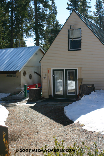
Photo #3: Tahoe cabin two days before storm. View towards front door from fence.
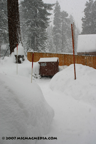
Photo #4: This morning - 36 hours into the storm. View from front door
towards bear proof trash box.


|


