 |
|
|
Follow Mark on Facebook for more stories |
||
 |
|||||
|
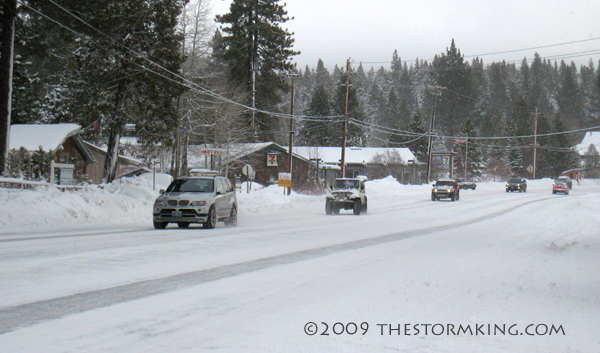
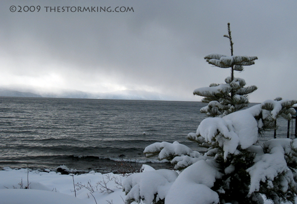
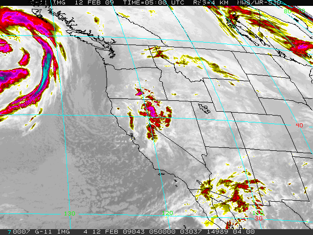
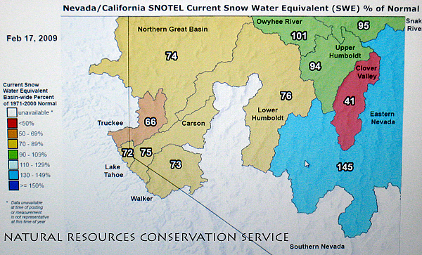
Tahoe Nugget #166 Presidents Weekend Storm 2009 If you're skiing Lake Tahoe this week, better bring your snorkel. The region is getting pounded by the biggest storm of 2009 and no one is happier than the resorts. Except maybe the skiers and snowboarders whooping it up on the slopes. The Sierra was hammered with snow over the President's Day weekend and politics aside, it was definitely the kind of change that we were looking for. The storm is winding down, but more snow is in the forecast today before high pressure builds in to serve up some Blue Bird conditions with fresh powder and bright sunshine starting tomorrow. The numbers being reported by Tahoe resorts are impressive. In the last ten days Squaw Valley has picked up more than seven feet of fresh snow. The storms over the past week have been cold, with 20 to 1 water to snow ratios, so much of what fell has been exquisite Rocky Mountain powder. The vigorous holiday storm hit Kirkwood Mountain Resort especially hard. Their reported storm total is currently running at a phenomenal 120 inches (10 feet) with more on the way today. The mid-mountain snowpack at Kirkwood is now more than 12 feet deep so it's definitely time to put away your rock skis. With all the fresh snow, the U.S. Forest Service in Truckee has issued an Avalanche Advisory calling for high avalanche risk on mountain slopes near and above the treeline in the Central Sierra. Travel near or in avalanche terrain is not recommended at this time and skiers should avoid mountain slopes steeper than 35 degrees. This advisory applies only to backcountry areas outside of established ski area boundaries. After one of the driest Januaries on record, this "Fabulous February" is quickly making up for lost time. In the northern Sierra, February is statistically the second wettest month that normally brings in an average of 74 inches of snow. With eleven more days to go and wet weather in the forecast for next weekend, this month has been a life saver for Tahoe winter sports. The powerful Pacific storms have certainly rescued what had been a mediocre Tahoe ski season, but the jury is still out on whether the Sierra will get enough water to end what was looking like a third year of drought. Much of this month's snow has been fluffy powder with low moisture content which is great for skiers, but it doesn't do the job when it comes to filling depleted lakes and reservoirs. Despite the low moisture content in the recent snowfall it has definitely helped boost the Tahoe-Truckee water supply. Precipitation in the Tahoe Basin has jumped to 77 percent of average, and water content in the local snowpack has improved to 72 percent of normal with plenty of winter left to top it off. Along the Sierra Crest the storms have added much needed water to the critical mountain snowpack there, boosting the water content on the West Slope to near 100 percent of average at some locations. The snowpack west of the Sierra Crest (Pacific Divide) is what California relies on to supply surface water. Water runoff east of the crest feeds Lake Tahoe and the Truckee River basins which ultimately heads to Nevada. More precipitation is expected this weekend so we're far from done. In fact, the active weather pattern is expected to continue into March so conditions at Tahoe resorts should remain heavenly for the foreseeable future. More importantly, if the expected storm track holds up, we may not have to bet the house on a Miracle March to break this year's drought. Photo #1: Winter returns to Lake Tahoe, but roads in good shape.
|
|||||
|

